GIS Consultant Near Me: How to Find the Right Geospatial Partner
A GIS consultant near you is a geospatial specialist who designs, builds, and supports mapping and spatial data systems for your organization. For most projects, proximity matters less than fit. A remote consultant with deep ArcGIS Online expertise often delivers more value than a local generalist, because cloud-first geospatial work rarely requires anyone on site.
Searching for a “GIS consultant near me” usually signals one of two needs: you want someone who understands your region, or you assume the work requires in-person delivery. Both assumptions deserve a second look. This guide explains when location genuinely matters, how to evaluate a geospatial partner, and what you should expect to pay, so you can choose based on capability rather than a map pin.
What a GIS consultant actually does
GIS consulting covers the practice of turning spatial data into decisions, maps, and systems your team can use. The work spans several distinct areas, and few consultants are equally strong across all of them. Knowing the categories helps you describe what you need.
- Geospatial strategy and assessment. Reviewing your current data, licenses, and workflows, then recommending what to fix first.
- Platform configuration. Setting up ArcGIS Online, ArcGIS Pro, and where appropriate ArcGIS Enterprise, including users, roles, and content sharing.
- Data engineering. Designing a geodatabase, building feature services, and applying attribute domains and attribute rules so your data stays clean.
- Visualization and apps. Building dashboards, StoryMaps, and configurable apps with Experience Builder, Field Maps, and Survey123.
- Training and enablement. Teaching your staff to maintain the system after the engagement ends.
Notice that none of these require a consultant in the same building as you. The deliverables live in the cloud, and collaboration happens over screen shares and shared maps. For a fuller breakdown of scope, see our guide on GIS consulting services and how to scope them.
When location genuinely matters (and when it does not)
There are real cases where a regional or on-site presence helps. There are also many cases where it adds cost without adding value. Here is how to tell the difference.
Cases where proximity helps
- Field data collection that you want supervised in person. If a consultant is training crews on Field Maps in the field, being on the ground for the first sessions speeds things up.
- Stakeholder workshops where leadership prefers a room. Some executive groups simply work better face to face for a kickoff or a roadmap session.
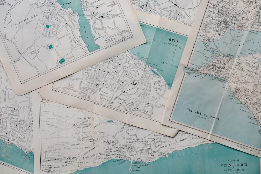
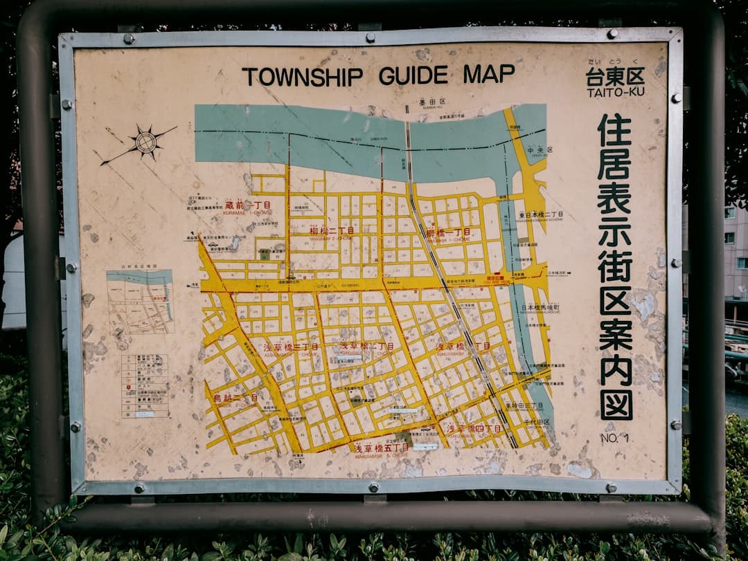
- Local regulatory knowledge. A consultant familiar with your state or county data standards can move faster on parcel, zoning, or utility datasets.
Cases where remote is equal or better
- ArcGIS Online setup and administration. This is entirely cloud-based. A specialist anywhere can do it.
- Geodatabase design and data migration. The work happens against your data, not your geography.
- Dashboard, StoryMap, and app development. These are built and reviewed through shared links.
The honest takeaway: insisting on “near me” can shrink your shortlist to a handful of generalists when the right specialist might be two time zones away. Hire for the depth of geospatial skill first, then confirm the working model fits your schedule.
How to evaluate a GIS consultant near you
Whether your shortlist is local or national, the evaluation criteria are the same. Use these questions to separate genuine specialists from generalists who add GIS as an afterthought.
- What is their depth on the Esri platform? Look for demonstrable command of ArcGIS Online, ArcGIS Pro, and ArcGIS Enterprise, plus the out-of-the-box app builders. A Certified ArcGIS Expert is a strong signal.
- Can they show relevant work? Ask for a StoryMap, a dashboard, or a data model similar to your need. Real artifacts beat slide decks.
- How do they price? Transparent, productized pricing tells you they have done this enough times to scope it confidently.
- Who actually does the work? In a two-partner firm, the person you talk to is the person who delivers. In a large firm, ask whether a senior engineer or a junior will build your system.
- Do they hand off cleanly? The best engagements leave your team able to run the system. Ask how training and documentation are handled.
For a deeper checklist, our guide on how to hire a GIS consultant walks through the full vetting process, and our comparison of an Esri Partner versus an independent consultant covers the trade-offs between firm types.
Local generalist vs remote specialist
The most common decision buyers face is whether to pick a nearby firm that does a bit of everything or a specialized geospatial partner that works remotely. The table below frames the trade-offs with realistic figures.
| Factor | Local generalist IT firm | Remote geospatial specialist |
|---|---|---|
| ArcGIS platform depth | Often shallow, GIS is one of many services | Deep, geospatial is the core practice |
| On-site availability | Yes, when needed | By arrangement for key sessions |
| StoryMaps and dashboards | Limited | Core capability |
| Pricing transparency | Usually hourly, variable | Productized, published ranges |
| Typical StoryMap project | Quoted ad hoc | $2,500 to $7,500 (GeoStory) |
| Typical platform project | Quoted ad hoc | $5,000 to $15,000 (GeoConsult) |
For organizations whose primary need is genuine geospatial depth, the remote specialist usually wins on outcome per dollar. For organizations that value a single local vendor relationship across all IT, the generalist can make sense, as long as you confirm the GIS skills are real.
What GIS consulting costs
Pricing transparency is rare in this market, which makes it hard to budget. GeoLever publishes productized pricing so you can plan before the first call. Our three core engagements are:
- GeoStory: Esri StoryMap development, $2,500 to $7,500. Best when you need to communicate a project, secure funding, or present spatial work to non-technical stakeholders.
- GeoConsult: ArcGIS platform consulting, $5,000 to $15,000 per project. Best for setup, migration, geodatabase design, dashboards, and app configuration.
- GeoPartner: embedded geospatial consulting, $10,000 to $25,000 per month. Best when you need ongoing senior GIS capacity without hiring a full-time team.
These ranges reflect senior delivery with no junior handoffs. For a full explanation of what drives the price, read our breakdown of GIS consulting cost and how to budget for it.
How to start, near or far
The practical path is straightforward. Write a short description of the problem you want solved and the decision it supports. Note any genuine on-site requirements. Then evaluate two or three consultants against the five questions above, regardless of where they sit. A 30-minute discovery call is enough to tell whether a partner understands your data and your goal. You can book one through the GeoLever contact page.
How a remote GIS engagement actually works
Buyers who default to “near me” are often picturing a vendor who shows up in person. A modern geospatial engagement looks different, and understanding the rhythm removes the worry that distance means disconnection.
A typical project opens with a discovery call where you describe the problem and the decision it supports. The consultant then reviews your ArcGIS Online organization, your data, and your current workflows, usually through a shared screen session so you see exactly what they see. From there, work proceeds in short cycles: the consultant builds, shares a link to a map, dashboard, or StoryMap, and you review it live or on your own time. Feedback loops happen over scheduled calls and a shared channel, not site visits.
Because the deliverables live in the cloud, you are never waiting for someone to drive over to make a change. A dashboard tweak or a new attribute domain can be applied and shared within hours. For field-heavy work, the consultant configures Field Maps or Survey123 and runs a remote training session, with an optional on-site day for the first deployment if your crews prefer it. This model gives you senior expertise without travel cost padding the invoice.
Red flags when choosing a GIS consultant
A few warning signs reliably predict a difficult engagement. Watch for them regardless of whether a consultant is down the street or across the country.
- No sample work. A consultant who cannot show a real StoryMap, dashboard, or data model is asking you to take their skill on faith.
- Vague pricing that depends on your budget. If the price seems to be reverse-engineered from what you can afford, scoping discipline is missing.
- A pitch that leans on tools rather than outcomes. Listing software is easy. Explaining the decision your map will support is the harder, more valuable skill.
- Pressure to sign before scoping. A confident specialist scopes first and commits second.
- No plan for handoff. If the consultant cannot explain how your team will run the system afterward, you risk being locked into ongoing dependency.
Treating these as disqualifiers keeps your shortlist focused on partners who deliver. Pair this with a clear scope and a 30-minute call, and you will quickly see who understands geospatial work and who simply sells it.
Frequently Asked Questions
Does a GIS consultant need to be local?
For most projects, no. ArcGIS Online setup, geodatabase design, dashboards, and StoryMaps are all delivered through the cloud and shared links. Location matters mainly for supervised field training or stakeholder workshops that leadership prefers to hold in person.
How much does it cost to hire a GIS consultant?
GeoLever publishes productized pricing: GeoStory StoryMap development runs $2,500 to $7,500, GeoConsult platform projects run $5,000 to $15,000, and GeoPartner embedded consulting runs $10,000 to $25,000 per month. Hourly generalists vary widely and are harder to budget.
What should I look for when choosing a GIS consultant?
Prioritize depth on the Esri platform, relevant sample work such as a StoryMap or dashboard, transparent pricing, clarity on who actually does the work, and a clean training handoff so your team can run the system afterward.
What is the difference between a GIS consultant and an IT firm that offers GIS?
A geospatial specialist treats GIS as their core practice and brings deep ArcGIS expertise. A general IT firm usually offers GIS as one service among many, which often means shallower platform knowledge. Confirm the actual depth before deciding.
Can a GIS consultant work with my existing ArcGIS setup?
Yes. A good consultant starts by assessing your current licenses, data, and workflows, then improves what you already have rather than rebuilding from scratch. This is a standard first step in a platform engagement.