Geospatial Services: A Practical Guide to What They Are and How to Buy Them
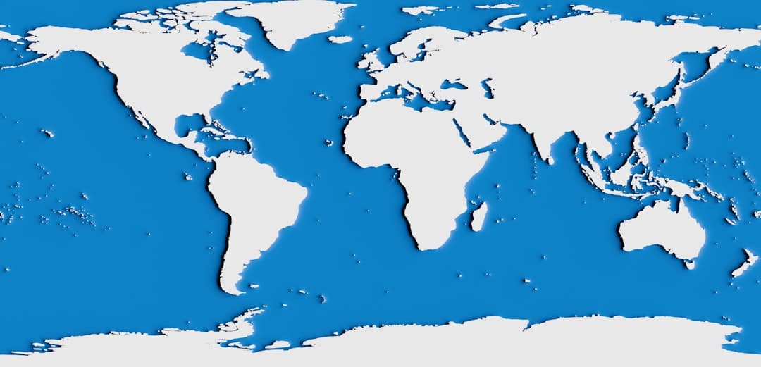
Geospatial services are professional offerings that help an organization collect, manage, analyze, and present location data. They span data and geodatabase work, map and application development, platform setup, and spatial analysis. Organizations buy geospatial services to turn raw location data into decisions without building and maintaining a full internal team for every capability.
What Counts as a Geospatial Service
Almost every organization holds location data. Asset registers, service territories, customer addresses, inspection records, and facility footprints all carry a spatial dimension. Geospatial services are the professional work that makes that data usable: structuring it, analyzing it, mapping it, and putting it in front of the people who make decisions.
The category is broad, which is part of why buyers find it hard to scope. It helps to break geospatial services into a clear menu rather than treating it as one undifferentiated thing.
The Main Types of Geospatial Services
Most engagements fall into one of five service types. A single project often combines several, but naming them separately makes scoping far easier.
Platform setup and consulting
This is the foundation: choosing and configuring the right Esri products for the organization. The usual starting point is ArcGIS Online, the software-as-a-service platform that runs without any servers to maintain. ArcGIS Pro covers desktop analysis and cartography. ArcGIS Enterprise is the option when the platform needs to live inside an organization’s own infrastructure. Getting this layer right shapes everything built on top of it.
Data and geodatabase services
Spatial data is only as good as its structure. Geodatabase design, data migration, and data cleanup are the unglamorous services that determine whether everything downstream works. Strong data work includes attribute domains that constrain field values to valid options and attribute rules that catch errors automatically as records are created or edited. When several people edit the same data, branched versioning lets them work concurrently without overwriting each other.
Application development
Application development is where geospatial data becomes a working tool. With the Esri platform, this is done through configurable builders rather than custom code. Experience Builder produces web applications. Field Maps handles mobile data collection for crews in the field. Survey123 captures structured form data. ArcGIS Dashboards present live operational views for managers. The result is software staff can use daily, built on supported Esri products rather than fragile bespoke code.
Spatial analysis
Analysis answers questions: where to place a facility, which areas carry the most risk, how a service gap maps against population. This is the service that produces insight rather than infrastructure, and it is often where the clearest return sits. Measuring that return is its own discipline, and our framework on the ROI of GIS covers how to do it credibly.
Visualization and communication
Analysis that no one understands changes no decisions. Visualization services turn spatial work into something a non-specialist audience can absorb, most often through an Esri StoryMap that combines maps, text, and media into a guided narrative. The choice between an interactive product and a fixed export matters, and our comparison of StoryMaps versus static maps explains when each one fits.
In-House Versus Outsourced Geospatial Services
Every organization with location data faces the same question: build the capability internally, buy it as a service, or combine the two. There is no single right answer, but the trade-offs are predictable.
| Factor | In-house team | Outsourced geospatial services |
|---|---|---|
| Best for | Continuous, central geospatial work | Defined projects and specialist needs |
| Cost shape | Permanent salaries and overhead | Scoped project or monthly fee |
| Skill range | Limited to who you hire | Broad, drawn across many projects |
| Time to start | Months of recruitment | Days to weeks |
| Capacity | Fixed | Scales with the engagement |
The practical pattern for most mid-sized organizations is a hybrid. A small internal team handles routine map production and day-to-day requests, and outsourced geospatial services cover larger initiatives, specialist work, and capacity peaks. That arrangement keeps fixed costs reasonable while still giving the organization access to senior experience when a project needs it.
How Geospatial Services Are Priced
Pricing is where buyers most often get stuck, because many providers will not quote a number before a sales process. GeoLever publishes its pricing deliberately, so a buyer can build a budget before the first conversation rather than after it.
Geospatial services are generally sold in three shapes.
- Productized projects. A defined deliverable with a fixed scope and a fixed price range. GeoLever’s GeoConsult service covers ArcGIS platform consulting at $5,000 to $15,000 per project. This model protects the buyer from open-ended estimates.
- Single deliverables. A specific, self-contained output. GeoLever’s GeoStory service delivers a complete Esri StoryMap for $2,500 to $7,500, which suits a one-off communication or funding need.
- Embedded engagements. Ongoing senior capacity that works as part of your team. GeoLever’s GeoPartner service provides embedded geospatial consulting at $10,000 to $25,000 per month for organizations that need continuous depth rather than occasional projects.
Hourly billing also exists, usually $100 to $200 per hour for experienced consultants in North America. It works for small, open-ended tasks. For anything with a defined outcome, a fixed-scope price aligns the provider with finishing the work rather than extending it. Current pricing for all three services is published at geolever.co/pricing.
How to Scope and Buy Geospatial Services
A well-scoped engagement runs smoothly. A vague one drifts. A short, deliberate process keeps a purchase on track.
Start from the decision, not the deliverable
The strongest scoping question is not “what do we want built” but “what decision should this help us make.” A request for “a map of our assets” is hard to price and easy to misjudge. A request to “see which assets are overdue for inspection so we can plan next quarter’s crew schedule” is specific, and it tells the provider exactly what the work needs to produce.
Inventory what you already have
Before buying anything, take stock of current data, current Esri licenses, and current staff capability. Many organizations already own platform capacity they have never used. Knowing this prevents paying for something you can already do and focuses the engagement on real gaps.
Define the handover
Decide upfront what “done” looks like and what you keep. A good geospatial services engagement leaves the organization more capable, with documentation, trained staff, and a system it can run. Make documentation and training part of the agreed scope, not an afterthought.
Match the model to the need
A one-time output fits a single-deliverable purchase. A bounded initiative fits a productized project. A continuous need fits an embedded engagement. Choosing the wrong model is a common and avoidable source of friction.
Choosing a Geospatial Services Provider
Once the scope is clear, a few criteria separate a dependable provider from a risky one.
- Senior delivery. Confirm who does the actual work. With a small senior team, the people you meet are the people who deliver, with no junior layer and no handoffs.
- Esri platform depth. Look for real command of ArcGIS Online, ArcGIS Pro, and ArcGIS Enterprise, along with the application builders. App development should mean configurable Esri tools such as Experience Builder, Field Maps, and Survey123, not custom code that becomes a maintenance burden.
- Published pricing. A provider that publishes prices has thought hard about scope and is willing to be held to it.
- An outcome focus. The conversation should center on decisions and results, not a list of deliverables. The full menu of GeoLever services is described at geolever.co/services.
How GeoLever Delivers Geospatial Services
GeoLever is a two-partner geospatial consultancy with a deliberately simple model: published pricing, senior delivery, and no handoffs. Diana Muresan, a Senior GIS Engineer and Certified ArcGIS Expert, leads the technical work across geodatabase design, application development, and platform consulting. Elom, a Growth Engineer, runs the business and client side. The partner you hire is the partner who delivers.
The three productized services cover the common cases. GeoStory handles a single StoryMap. GeoConsult handles a defined platform project. GeoPartner provides embedded senior capacity month to month. Each one carries a published price range, so scoping a budget does not require a sales call. To talk through which service fits your situation, reach the team at geolever.co/contact.
Frequently Asked Questions
What are geospatial services?
Geospatial services are professional offerings that help an organization collect, manage, analyze, and present location data. They include platform setup, geodatabase and data work, application development with Esri builders, spatial analysis, and visualization through products such as Esri StoryMaps.
How much do geospatial services cost?
A single Esri StoryMap typically costs $2,500 to $7,500. A defined platform consulting project runs $5,000 to $15,000. Ongoing embedded geospatial consulting is $10,000 to $25,000 per month. Hourly rates for experienced consultants in North America generally fall between $100 and $200 per hour.
Should geospatial services be handled in-house or outsourced?
Continuous, central geospatial work suits an internal team. Defined projects, specialist needs, and capacity peaks suit outsourced services. Most mid-sized organizations use a hybrid: a small internal team for routine work, supported by outsourced services for larger or specialist initiatives.
What is the difference between GIS and geospatial services?
The terms overlap heavily. GIS refers specifically to geographic information systems, the technology and methods for working with spatial data. Geospatial services is the broader description of the professional work delivered using that technology, including data, analysis, applications, and visualization.
How do I scope a geospatial services project?
Start from the decision the work should support rather than the deliverable. Inventory the data, Esri licenses, and staff capability you already have. Define what the handover includes, then match the engagement model to whether the need is a one-time output, a bounded project, or continuous capacity.
What software do geospatial services use?
Most professional geospatial services are built on the Esri platform: ArcGIS Online for software-as-a-service mapping, ArcGIS Pro for desktop analysis, and ArcGIS Enterprise for self-hosted deployments. Application work uses Esri builders such as Experience Builder, Field Maps, Survey123, and ArcGIS Dashboards.